
A few days ago, I was out on one of my meandering walks. Eventually, I made my way down to the little river that flows through my property. My first stop was at an old beaver lodge to see what might be growing on it.
Looking for plants
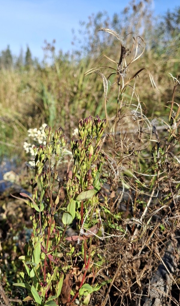
On the beaver lodge, I found some weedy species: Erechtites hieraciifolius, Hypericum majus, Epilobium leptophyllum, and Pseudognaphalium obtusifolium. Erechtites hieraciifolius is an annual and Hypericum majus, Epilobium leptophyllum, and Pseudognaphalium obtusifolium are short-lived perennials that would never survive in the thick marsh grasses. I’ve never seen them anywhere near the river except on other old beaver lodges and dams. How many years (decades?) had their seeds lain dormant in the muck before the beavers brought them to the surface?
No rain but the river is rising
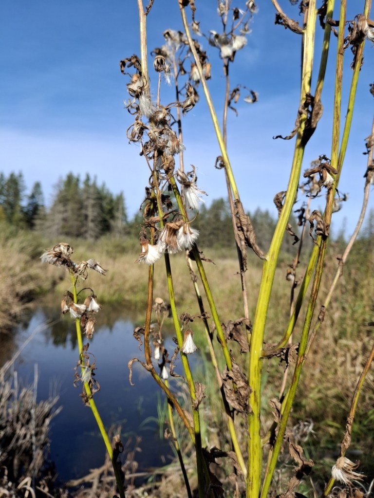
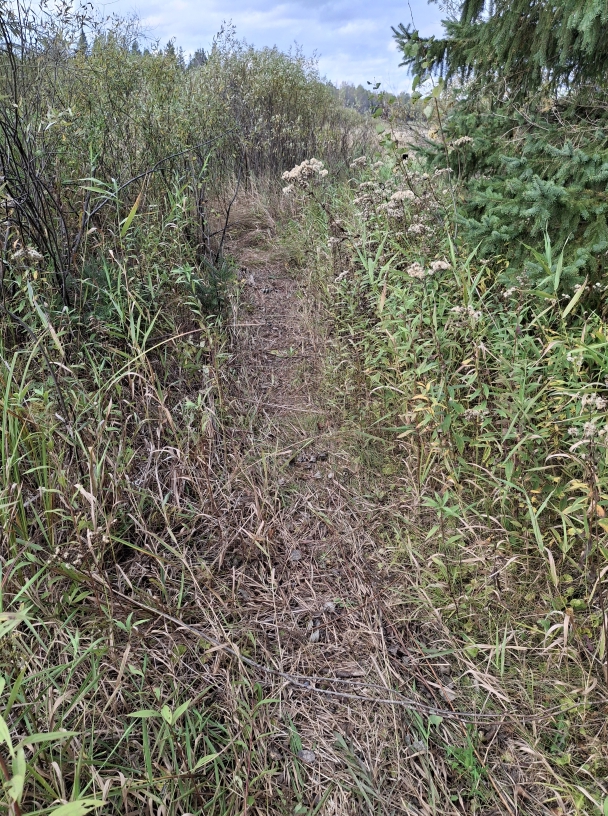
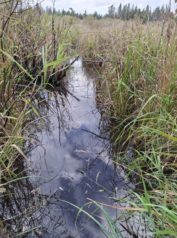
I kept walking along the riverbank, fighting my way through the tall and densely tangled grass. When I got to the place where I keep my canoe in the summer, I noticed the water had risen.
We haven’t had any substantial rain all season. When it does rain, the water soaks right into the ground and doesn’t change the river’s water level at all. So what could have happened to raise the water level in just a few days? I suspected the beavers had returned.
The beavers are back
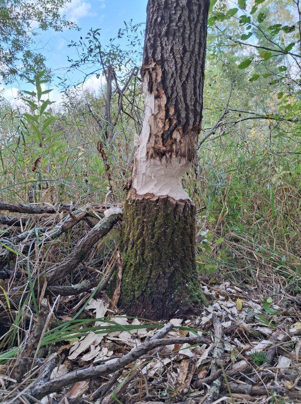
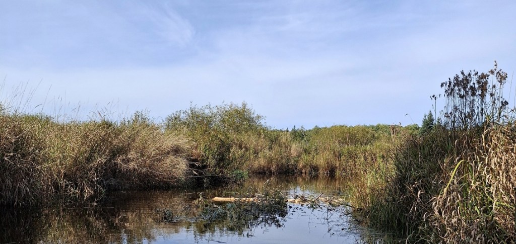
I continued walking until I came to a small, partially forested island in the marsh. Here I saw chewed tree stumps and drag marks through the grass. Beavers had been working here, pulling aspen branches and logs to an old canal connected to the river. This had all happened over a period of three days because the last time I was here was on October 2nd, and there was only a little beaver activity noted then.

An old dam and a renewed dam
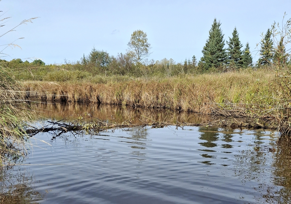
About two years ago, the river had worked its way around an old beaver dam built in 2005 but abandoned by 2009. The new river course reopened a channel cut off in the 1960s. But this isn’t where the beavers were working. The new dam was further downstream, about 300 feet as the crow flies, and it was being built on the remains of an older dam (called Dam 3 on my maps) from 2010. I was impressed by how quickly they had built this new dam and how far it had backed up the water behind it.
Beavers are ecosystem engineers
By building dams and excavating canals into the surrounding marsh, the beavers maintain the river’s hydrology. Their dams hold back water that is slowly released downstream through the leaky dams, keeping the stream flowing all year. Water flowing over the dams mixes with air and becomes oxygenated, thus preventing anoxic stagnant conditions.
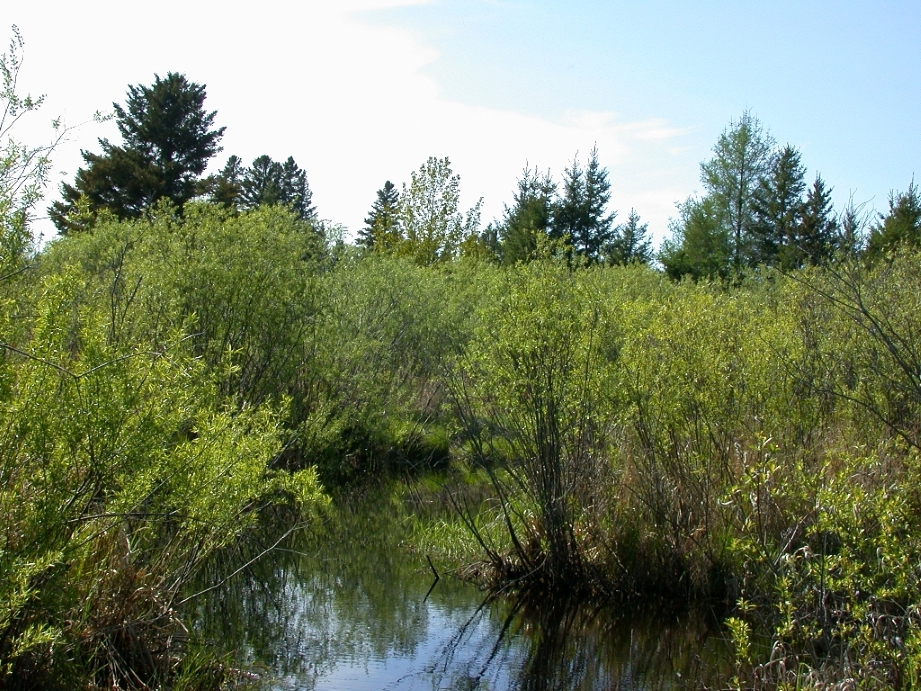
The impounded water also recharges and raises the water table, further maintaining the stream’s flow. The ponds and the higher water help keep the surrounding marsh wet.
A complex hydrology
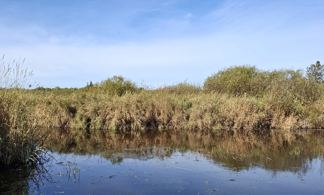
Because the river channel is meandering, and the terrain is flat and wide, the dams the beavers build do not need to be high or long. The dams are just high enough to hold back the water, which then backs up and spills into old river channels, oxbows, and beaver canals, creating a huge network of interconnected waterways.
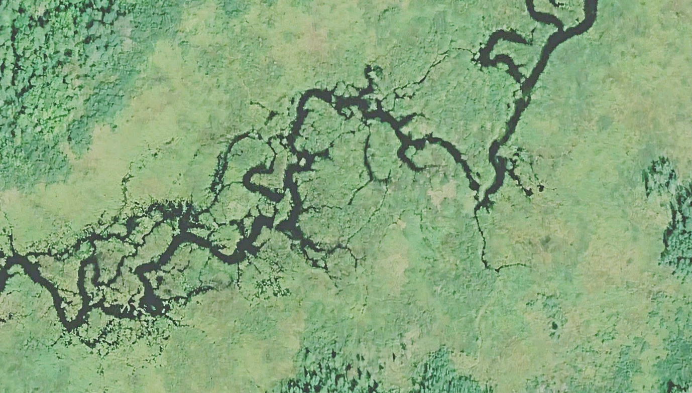
This satellite image (above) of the river shows its main channel and the complex system of interconnected smaller streams, backwaters, oxbows, and canals created by centuries of beaver activity.
The area in the image is 30 acres (about 12 hectares). Most of the land in the image is a sedge meadow/shrub carr wetland. There is also a large alder thicket, and a conifer/hardwood swamp is reclaiming its former territory.
If you look closely, you can see tiny finger-like projections extending from the riverbank into the channel. Aerial photos from the 1940s also show these stubs as well as most of the smaller streams and backwaters.
The stubs are the remains of old dams, possibly more than a hundred years old. Trapping eliminated beavers from Minnesota by the 1890s, but they were reintroduced in the 1900s. Those dam fragments may date to that time or a little later.
The straight part of the channel was caused by something, but I have not been able to learn who or what did it. If it was ditched (but why?), there are no traces of ditch spoils to confirm it. Anyway, it’s a good fishing spot.
Four active dams are visible in the image, but only one (lower left) has a rounded pond behind it. The other three ponds are more linear in shape. The oxbow in the upper right has a small dam blocking it, but that dam keeps water from the main channel from entering it. A thin stream channel flows from the oxbow through the marsh and shrubs and back into the main channel.
An abundance of shallow water habitat
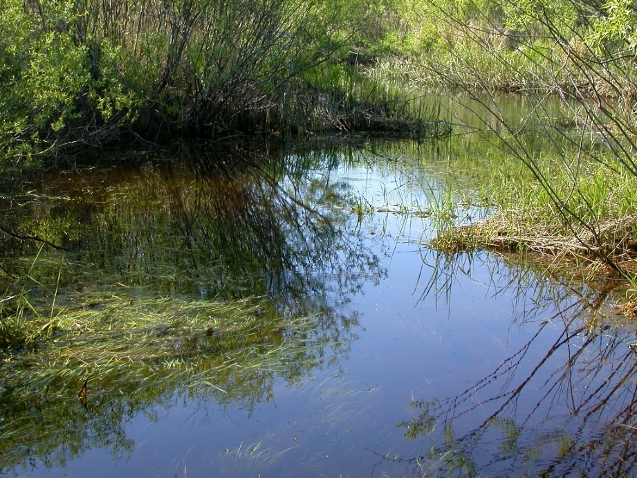
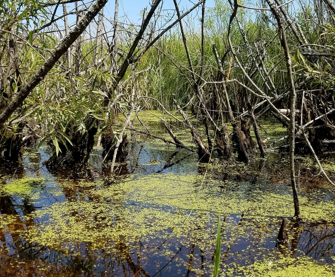
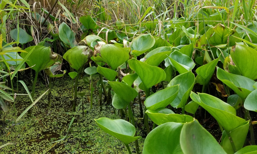
The water behind the dams and in the older abandoned channels hosts a larger variety of wildlife and plant life than the river would without them. These areas of shallow water, from 1 to 6 feet deep, support submerged, floating, and emergent plants.
These weedy waters are an ideal habitat for many species of small fish, crustaceans, amphibians, aquatic insects, and mollusks. They also provide habitat and food for waterfowl such as mallards, blue herons, night herons, geese, sandhill cranes, bitterns, and kingfishers, and mammals like water shrews and star-nosed moles.
In future posts, I will be writing more about this wetland complex, exploring its connections to conifer swamps, hardwood swamps, and the adjacent upland hardwood/conifer forests.
